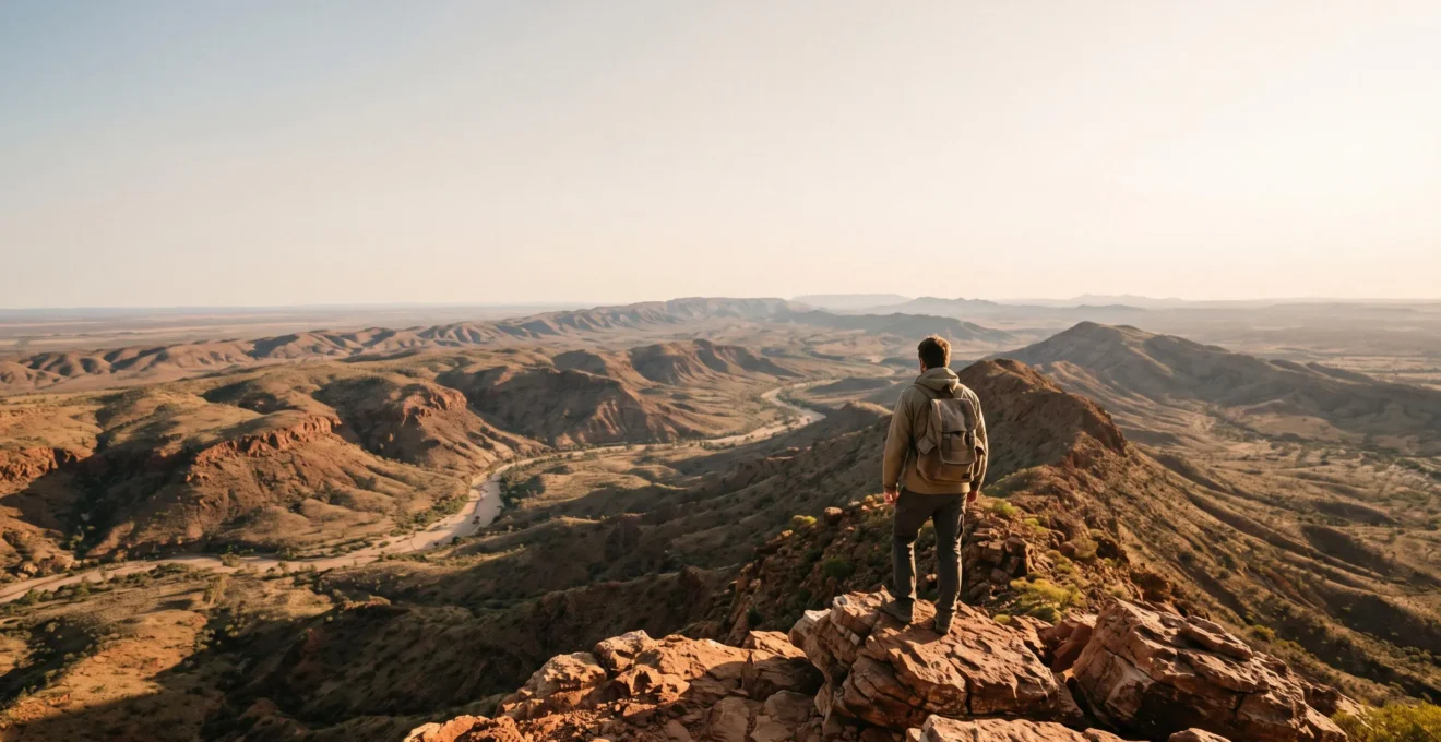
In summary:
- Your international hiking fitness is not enough; Australia demands specific recalibration for heat, distance, and terrain.
- Successful preparation focuses on heat adaptation, stability training, and meticulous water and logistics planning.
- The biggest risks are not snakes or spiders, but underestimating the vastness, lack of water, and environmental deception of the landscape.
- Safety in the Outback relies on absolute self-sufficiency and a non-negotiable communication protocol.
You’ve conquered alpine passes in the Rockies and navigated ancient trails in Europe. You consider yourself a fit, experienced hiker, ready for a new challenge. So, you set your sights on one of Australia’s iconic multi-day treks, like the Larapinta Trail or the Overland Track. The common advice seems simple enough: get fit, pack plenty of water, and check the weather. You’ve done this a hundred times before. But this is where the first, and most critical, miscalculation occurs.
The Australian continent doesn’t play by the same rules as other world-class hiking destinations. The challenges here are more subtle and often counter-intuitive. What if the real key to preparation wasn’t just adding more miles to your training, but fundamentally recalibrating your understanding of effort, distance, and self-sufficiency? What if the greatest danger wasn’t a venomous creature, but the vast, beautiful, and deceptive landscape itself?
This guide is designed to bridge that gap between your hard-earned international experience and the unique demands of Australian bushwalking. We will move beyond the platitudes to give you a coach’s perspective on true preparation. We’ll explore why this environment is different, how to build targeted fitness, and what logistical sovereignty truly means when you’re hours, or even days, from the nearest help.
This article provides a complete framework for your preparation, from physical conditioning to logistical planning. Explore the sections below to build a comprehensive understanding of what it takes to trek safely and successfully in Australia.
Summary: A Complete Guide to Preparing for Australian Multi-Day Treks
- Why Australian Trails Challenge Fit Hikers from Europe and America in Unexpected Ways
- How to Build Hiking Fitness for Australian Heat and Distance in 12 Weeks
- Guided Multi-Day Hikes or Independent Trekking: Which for Australian Wilderness Safety?
- The Water Miscalculation That Causes Dehydration on 60% of Australian Inland Hikes
- When to Hike Australian Icon Trails for Perfect Weather and Available Permits
- Why Australian National Parks Demand More Preparation Than European or American Parks
- Why the Outback’s Remoteness and Harshness Exceed Any Other Developed Nation’s Wilderness
- How to Explore the Australian Outback Safely Without Underestimating the Remoteness
Why Australian Trails Challenge Fit Hikers from Europe and America in Unexpected Ways
The core misunderstanding for many international hikers is assuming that fitness is a universal currency. While a strong cardiovascular base is essential, it doesn’t fully prepare you for the unique stressors of the Australian environment. As seasoned expert Darren Edwards of Trail Hiking Australia notes, « Hiking in the Australian outback is fundamentally different from walking in coastal, alpine, or forested environments. » This difference is rooted in a unique combination of extreme heat, vast scale, and environmental deception.
The heat is not just a matter of discomfort; it’s a physiological challenge. In Central Australia, for instance, temperatures in Alice Springs can reach over 114°F (45°C) in summer, a dry, relentless heat that drains energy and accelerates dehydration in ways that more humid climates do not. This requires a specific metabolic recalibration that goes beyond simple fitness. Furthermore, the landscape itself can be misleading. The vast, featureless plains and shimmering horizons trick the eye, making it incredibly difficult to judge distance and elevation. A small hill in the distance might be a two-hour walk away, leading to critical errors in time and energy management.
This environmental deception is a key reason why fit hikers get into trouble. Your brain, accustomed to visual cues like trees and varied topography to gauge progress, is left without reliable reference points. This can lead to a psychological fatigue that compounds the physical stress, turning a challenging hike into a dangerous situation.
How to Build Hiking Fitness for Australian Heat and Distance in 12 Weeks
To prepare for Australian trails, you must train not just for distance, but for resilience against specific environmental factors. This means shifting your focus from pure cardiovascular endurance to a more holistic program that includes heat adaptation, stability training, and loaded pack walking. Think of it as a metabolic recalibration for the Outback. Your goal is to teach your body to perform efficiently under a very specific type of duress.
A 12-week program should be structured with increasing intensity.
- Weeks 1-4: Base Building. Focus on 3-4 sessions per week of cardiovascular exercise (running, cycling, swimming) of 45-60 minutes. Add two days of full-body strength training, focusing on compound movements like squats, lunges, and deadlifts. End this phase with a 2-hour hike with a light pack.
- Weeks 5-8: Specificity and Load. Increase your long hike duration weekly, building up to 4-5 hours with the full pack weight you intend to carry. Introduce « back-to-back » hikes on a weekend to simulate multi-day fatigue. If possible, train in the hottest part of the day to begin your heat adaptation.
- Weeks 9-12: Peak and Taper. Your longest training hikes should happen in weeks 9 and 10, mimicking a full day on the trail (6-8 hours) with your full pack. Crucially, focus on ankle stability exercises (e.g., single-leg balances) to prepare for the uniquely uneven surfaces. The final two weeks should be for tapering and active recovery, allowing your body to consolidate its gains.
The terrain is a major factor. The mix of deep sand, loose scree, and sharp spinifex grass demands exceptional ankle stability and core strength. Training on varied, uneven ground is far more valuable than logging miles on a flat, paved path. This specific preparation is what separates a successful trek from a painful, injury-plagued ordeal.
Guided Multi-Day Hikes or Independent Trekking: Which for Australian Wilderness Safety?
One of the first major decisions an international hiker must make is whether to tackle a trail independently or join a guided group. There is no single right answer; the best choice depends on your experience, comfort with risk, and desire for what we call logistical sovereignty. An independent trek offers ultimate freedom but places all responsibility for navigation, safety, and supplies squarely on your shoulders. A guided tour removes the logistical burden, but at the cost of flexibility and spontaneity.
To help you decide, consider this breakdown of the different approaches, using the iconic Larapinta Trail as an example from a recent comparative analysis.
| Approach | Logistics Control | Flexibility | Key Consideration |
|---|---|---|---|
| Guided (full tour) | Operator handles permits, food, transport | Low – fixed group pace and itinerary | Multiple operators offer packages with unlimited options in distance, difficulty and comfort level |
| Independent | Hiker books own permits and campsites | High – full control of pace and route | Requires booking walking permit and campsites directly in advance |
| Hybrid (logistics-only) | Operator provides transfers/food drops only | Medium-High – hiker still sets daily pace | Private transport and transfer services can be booked separately from a full guided package |
If you choose to place your safety in the hands of a guide, due diligence is paramount. Not all operators are created equal. You must vet their safety protocols rigorously. Don’t be afraid to ask detailed questions before you book. Based on expert safety recommendations, here are key points to clarify:
- What specific emergency communication device do they carry (PLB or satellite communicator), and why have they chosen that system?
- How do they verify the battery life and registration of their Personal Locator Beacons (PLBs) before each trip?
- Can they describe their incident management framework for that specific region, covering prevention, response, and recovery?
- Under what precise conditions would they initiate a helicopter search and rescue, and who makes that call in the field?
The Water Miscalculation That Causes Dehydration on 60% of Australian Inland Hikes
The Australian wilderness can be a harsh place and the risks can be high if you are not prepared.
– World Nomads editorial team, World Nomads – Bushwalking in Australia: Essential Hiking Safety Tips
Nowhere is this starker than with water. The most common critical error on Australian trails isn’t getting lost or encountering wildlife; it’s a simple, and often fatal, miscalculation of water needs. The dry air and intense sun can lead to hikers losing moisture at an alarming rate, often without realizing it until it’s too late. The « I’ll drink when I’m thirsty » mantra does not apply here; by the time you feel thirsty, you are already dehydrated.
The consequences of underestimating your water needs can be catastrophic, turning a popular walk into a life-threatening emergency with shocking speed.
Case Study: The Kalbarri National Park Tragedy
A tragic incident at Nature’s Window in Kalbarri National Park, Western Australia, serves as a sobering reminder. A hiker died from suspected dehydration after his group, on a popular and seemingly straightforward trail, ran out of water. They had set out with only three small bottles each. This case vividly illustrates how a basic failure to calculate and carry sufficient water can have the most severe consequences, even on well-trodden paths.
So, what is the right amount? The baseline rule, according to Australian adventure experts, is that a minimum of half a litre of water is required for every hour of bushwalking. This is a non-negotiable minimum. In hotter conditions or on more strenuous sections, this can easily double to one litre per hour. Your planning must involve meticulously mapping out reliable water sources (tanks, rivers), having a robust purification system, and always carrying more water than you think you will need. There is no substitute for water in your pack.
When to Hike Australian Icon Trails for Perfect Weather and Available Permits
Australia’s great walks are a paradox: they offer an experience of profound wilderness and isolation, yet access is often tightly controlled by competitive permit systems. This is the Permit Paradox. Securing a spot on an iconic trail during its peak season requires the kind of advance planning one might associate with booking a popular concert, not escaping into nature. The demand for these limited spots is fierce, and windows of opportunity are small.
For example, Tasmania’s world-renowned Overland Track has a strict booking season and quota. When bookings opened for the 2024-25 season, the demand was immediate and overwhelming. Within hours of the system going live, well over half of the available 8,200 spots had been booked. This isn’t an anomaly; it’s the standard for Australia’s most sought-after trails. Missing the booking window by a day, or even an hour, can mean missing out for an entire year.
Each trail has its own unique ecosystem of seasons and regulations. Comparing two of the most famous, the Larapinta Trail and the Overland Track, highlights how different the planning can be, based on data from official park sources.
| Feature | Larapinta Trail (NT) | Overland Track (TAS) |
|---|---|---|
| Approx. length | 223–230 km | 65 km (official) / up to 82 km with extension |
| Recommended season | April to September (cooler dry months) | 1 October – 31 May booking season |
| Permit system | Fixed-date online booking per campsite since April 2023 | Daily quota booking system opening 1 July each year |
| Designated campsites/huts | 26 designated campgrounds plus 1 private site | 7 main shelters along the route |
Your preparation timeline must therefore start with research into your target trail’s specific permit system. Identify the exact date and time bookings open, and be ready to act immediately. This logistical step is as crucial as any physical training.
Why Australian National Parks Demand More Preparation Than European or American Parks
A key point of recalibration for international visitors is the concept of a « national park. » In Europe or North America, this often implies a well-developed infrastructure with frequent facilities, reliable cell service, and a high density of rangers. In Australia, particularly outside of major coastal tourist hubs, a national park is often a vast, semi-wild area with minimal infrastructure. The responsibility for safety falls almost entirely on the individual.
This stark difference in facility density and support is a critical factor in preparation. A comparison of park infrastructure makes this clear.
| Aspect | Typical European/Nordic or US Park | Typical Australian Park |
|---|---|---|
| Trail huts | Common and generally well-maintained, comparable to Nordic long-distance trail huts | Rare outside select Tasmanian trails; largely absent in outback and bush regions |
| Facility density | Frequent, closely spaced facilities | Few facilities, particularly in remote areas |
| Safety concerns | Lower due to proximity of services | Higher; preparation and awareness are essential due to unique remoteness challenges |
This lack of infrastructure means there is no « popping into the next hut » if you run into trouble or bad weather. There is no easy exit. This places an enormous emphasis on logistical sovereignty—the ability to be completely self-sufficient for extended periods. When things go wrong, the response is not a park ranger driving up a service road; it is often a large-scale, volunteer-led operation. In Queensland alone, State Emergency Service volunteers completed more than 11,600 hours on Land Search and Rescue operations in a single year. These are community members putting their lives on hold to find hikers who were not adequately prepared for the level of self-reliance required.
When you pack for an Australian hike, you are not just packing for a walk; you are packing for survival in an environment where you are the first, last, and only line of defense.
Why the Outback’s Remoteness and Harshness Exceed Any Other Developed Nation’s Wilderness
To truly understand the Australian hiking challenge, one must appreciate the scale of the continent’s defining feature: the Outback. This is not simply a desert; it is a vast, ancient, and profoundly empty landscape that defies easy comparison. Spanning over 2.5 million square miles, the Australian Outback is a wilderness on a scale unmatched in any other developed nation. Its sheer size creates a level of remoteness where the distance between points of civilization is not measured in minutes, but in hours or even days.
This immensity fundamentally alters the nature of risk. A mechanical problem or a minor injury that would be an inconvenience in the European Alps can become a life-threatening crisis in the Outback. Help is not « just around the corner. » Help can be hundreds of kilometers away, and its arrival is never guaranteed to be swift.
Roadhouses and small towns line the outback roads at intervals of 150 to 250 kilometres, and travellers are urged not to underestimate driving distances or make their schedule too tight, since even heavy rain 200km ahead can cause a flash flood and road closure for a day or two.
– Rita, Rita’s Outback Guide
This first-hand account of travel by road perfectly illustrates the point for hikers on foot. The gaps between water tanks, trail shelters, or potential extraction points are vast. You must possess the skills, equipment, and mindset to be entirely self-sufficient within these gaps. This is not the romantic isolation of a remote mountain cabin; it is the profound, uncompromising solitude of a continent where the land, not humanity, holds dominion.
Key takeaways
- True Australian hiking fitness combines cardio with specific heat, stability, and loaded-pack training.
- Water is your most critical resource; the baseline is 0.5L per hour, and under-calculation is the single biggest risk.
- The Australian definition of ‘National Park’ means radical self-sufficiency, not a network of support infrastructure.
How to Explore the Australian Outback Safely Without Underestimating the Remoteness
As an experienced hiker who’s trekked across North America’s most challenging terrains, I can confidently say that hiking in the Outback is a unique experience that requires careful preparation.
– Hike Seeker editorial team, Hike Seeker – Ultimate Guide to Conquering the Australian Outback
This careful preparation culminates in one final, non-negotiable principle: a bulletproof communication plan. In a landscape where self-reliance is the default, your ability to signal for help is your ultimate safety net. A mobile phone is not a safety device in the Australian bush; in most remote areas, it is merely dead weight. Your plan must involve both technology and people.
At a minimum, you must carry a Personal Locator Beacon (PLB). This device, when activated, sends a distress signal via satellite to emergency services with your GPS coordinates. It is a one-way, last-resort communication tool. For more nuanced situations, a two-way satellite messenger (like a Garmin inReach or Zoleo) allows you to send and receive text messages, providing the ability to communicate the nature of your emergency or simply check in with family. This is the modern standard for safe remote travel.
However, technology can fail. The human element of your plan is just as critical. You must leave a detailed itinerary with a reliable contact person and establish a clear protocol for what they should do if you fail to check in or return on time.
Action Plan: Your Mandatory Communication Protocol
- Advise a trusted friend or family member of your exact destination, planned route, and intended departure and return times before you leave.
- Share critical details: the number of people in your group, your mobile number (for the rare chance of service), and a list of your emergency equipment.
- Explicitly disclose whether you are carrying a Personal Locator Beacon (PLB), a satellite phone, or another two-way communication device.
- Agree on a clear action plan: At what specific time should your contact notify emergency services if you haven’t returned or made contact?
- Consider instructing your contact to wait until the morning after a missed deadline to call police, as ground or air search efforts are often ineffective and dangerous at night.
Your Australian multi-day hike has the potential to be the adventure of a lifetime. By replacing assumptions with respect, and general fitness with targeted preparation, you honor the challenge of the landscape. Begin your planning today by applying this framework of recalibration to your own training and logistical research.
Frequently Asked Questions About How to Prepare for Australian Multi-Day Hikes Without Underestimating the Challenge
When is peak season on the Larapinta Trail?
Peak season typically falls within the cooler months, spanning from April to September, as summer temperatures are extreme.
Do I need a park pass in addition to my walking permit?
Yes, all visitors to the Northern Territory require a Parks Pass to enter most national parks and reserves, in addition to the trail walking permit.
How much are camping fees along the trail?
Most campgrounds on the Larapinta Trail are Category B sites, charging around $10 per adult per night.